The Evolution of Main Street; including the Horse-Causey (Boulder Causeway)
(with thanks to Graham Kilner for his help and expertise – this article is almost entirely his work)
Summary:
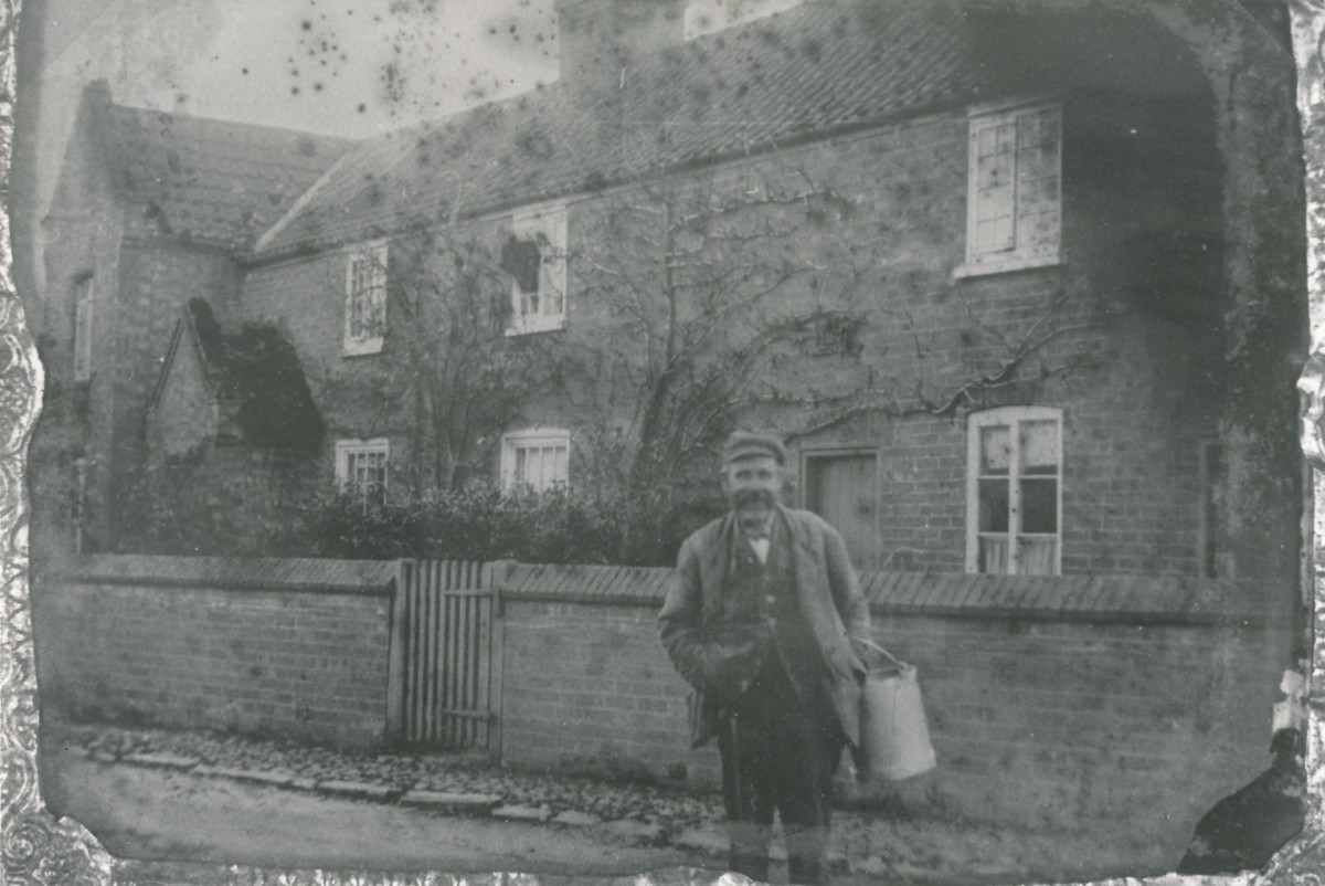
W1193 c.1910 (Jimmy Grundy, Miller – he is said to have been a heavy drinker and when, one night, he was swept all the way round on one of the Mill Lane windmill sails, he never drank again!)
Graham Kilner contacted us with an enquiry based on a reference in the 1593 Will of William Atkinson who had been Rector of Hickling from 1566 until his death in 1593; in this Will he included three bequests to the village:
“I, William Atkinson, clerk, parson of the parishe of Hicklinge, co. Notts., &c. I geve unto the repaire of the Churche of Hyglynge, wheareof I am now parson, iij li [£3]; to the repaire and amendinge of the Causey in Hyglynge xxs [twenty shillings].; the same iij li. I will to be bestowed on the said Churche and Causey at the discresion of Rauff Smythe, Geo. Dafte and John Parlabye of Hycklinge, when and in what places as they shall thinke convenient, and not tatt anie others appointment but by theimselfes or some of theim. I geve to twentye of the poreste house holders in Hycklinge xij d. [12pence] a pece, and to everye of theim a strike of suche corne, bairley or wheate, as shall please my executors, the same money and corne to be bestowed by the dyscrecion of the said Rauff, Geo. and John.”
He was interested to know whether the ‘Hickling Causey’ mentioned in this Will was a ‘horse causey’:
“I am researching the history of horse-causeys (causeways) in England. These were narrow, usually flagged paved ways constructed when most travel was either on foot or horseback. I have uncovered the will of a William Atkinson who, in 1593, left money to repair the ‘Hickling Causey’. do you know anything of this, and whether it was a cartway or a horse-causey?”
(Graham Kilner; Feb 2021)
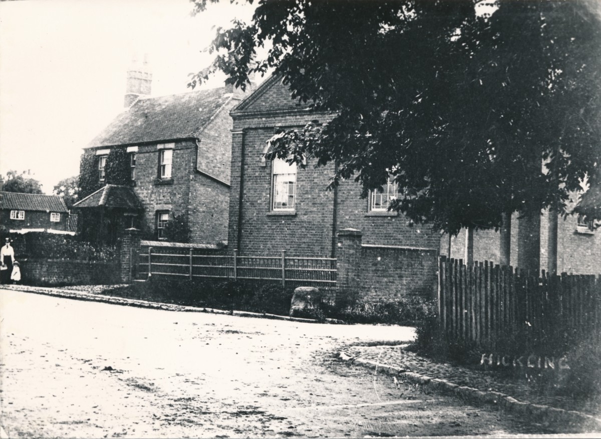
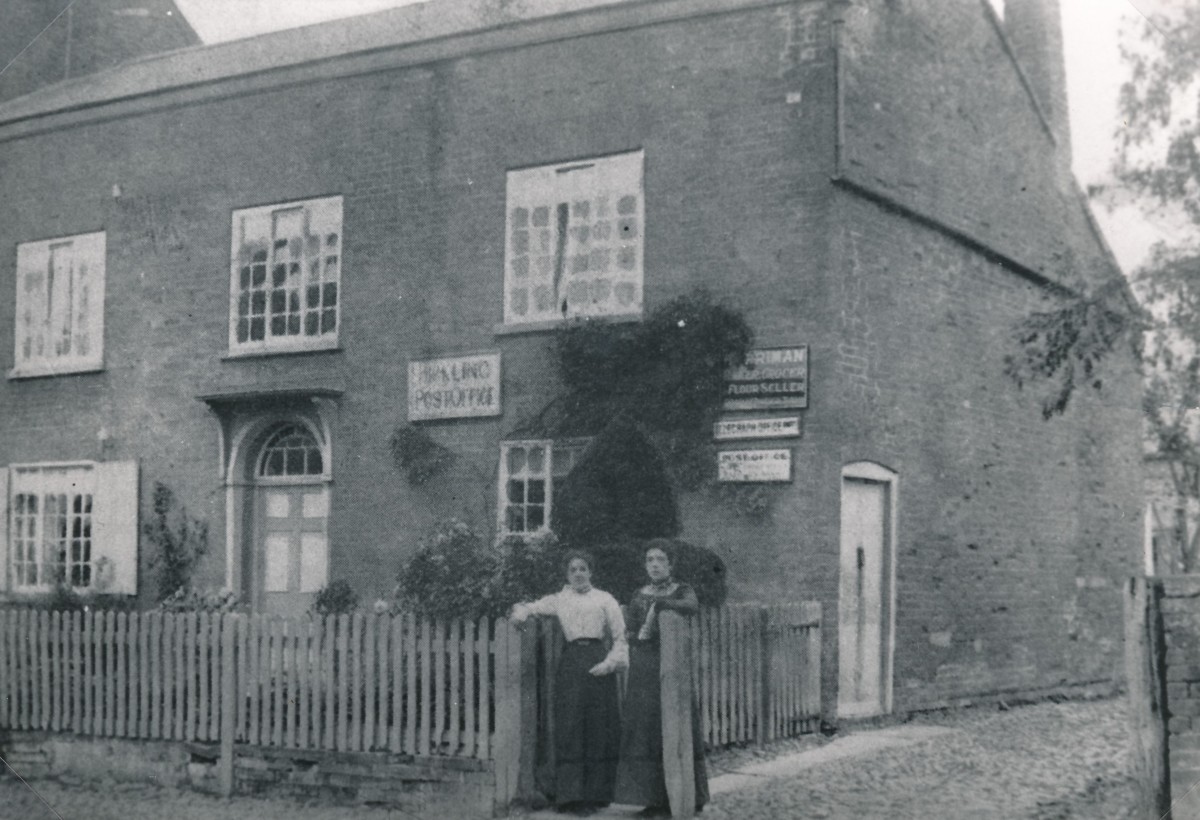
A number of old photographs from the Wadkin Archive show a raised boulder causeway; particularly a street view of the Chapel. A causeway of this type was essentially the bad weather option; when the normal road was difficult or impassable this much narrower raised boulder causeway along one side of the road allowed movement to continue.
“The village lied in a miry part of the county and consists of about 70 dwellings; the roads to it are intolerable in the winter. The road from the Fosse to the village is in a right line, very spacious, at the distance of about half a mile. The village, or rather the lanes leading to it, are a labyrinth, the way I entered it. The numerous passages, open to the more numerous inclosures adjoining the village, misguide you: the trees in the hedgerows are lofty, many and meet each other, which made the passages gloomy and miry, and some them almost impassable.”
(Robert Thoroton ‘The Antiquities of Nottinghamshire’ 1790-96 & The Scrapbook of Hickling by Hazel Wadkin)
W1309 1908
Before the development of macadamised road construction in the 1750’s (which was layers of compacted 1inch broken stone), village streets were often impassable in the winter so horse causeys, raised paved paths, were laid to ensure that people and supplies could continue to be moved. The roadway in the photograph of Cromwell House looks like compacted earth but it was probably of macadamised construction. Although it was a step forward from what went before, these roads were dusty in summer and muddy in winter.
When motor vehicles arrived, with their higher speeds and pneumatic tyres, the dust problem became intolerable, and tar sealing was invented to cure the problem. The old macadamised roads were mostly tar sealed in the period 1910-1940. Unclassified rural roads were the last to be sealed. Perhaps we have older residents who still remember the old roads from the 1930’s?
The Wadkin archive records that ‘the causeway’ was relaid in the early 1900s as a Coronation project forming the pavements that we know today along the eastern edge of Main Street.
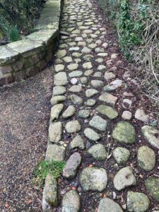
Cobbles may have been reused at The Olde Barn (TC)
August 1912. For several weeks past a much needed improvement has been going on in the village by removal of the old boulder causeway and the laying down of a concrete (granolithic) footpath. The pavement when completed will extend throughout the main street from The Plough Inn near to the Nether Broughton end of the village, a distance of 1,050 yards or thereabouts.
For some years the matter of causeway renovation had been commented on, but not until arrangements for celebrating the Coronation were in hand did the matter take definite shape. A sum of £16 odd was subscribed for a permanent memorial of the Coronation.
A scheme was considered, and the recommendations of the Coronation Committee were laid before the parish meeting and approved. A deputation was appointed to lay the matter before the Rural District Council and report, that authority having promised to contribute to the cost of a new causeway.
A committee was appointed to canvass the parish for further subscriptions and to act with the Rural District Council in carrying out the work. The result of the second canvass of the parish was very gratifying, donations, promises of carting labour (to which were added bank interest and donations from local bodies) were generously given, resulting in the total sum for a renovation fund of over £100.
The work is progressing satisfactorily. Mr W. Burnett is the contractor.
(H Wadkin: The Scrapbook of Hickling and unpublished notes)
Interestingly, it does look as if at least some of these cobbles may have been re-used and remain in the village today; for example, outside Cobblestones and in the garden of the Old Barn.
W0203 c.1900
William Atkinson’s Will demonstrates that the boulder causeway ran along Main Street from at least the mid- to late- 1500s and the Wadkin archive records that it survived until the early 1900s.
At some point, we would like to be able to identify how much of present-day Main St had this causeway along its eastern edge and, if possible, when it was originally laid.
More detail:
‘Road’ is a relatively recent term. As the village evolved there would simply have been a space over which the public had the right to ‘pass and re-pass’ – a ‘way’; hence recognisable words such as footways, horseways, cartways, carriageways, and the King’s Highway. The village might have been built on an old trackway, or the highway might have evolved after the village was founded.
From 1555 each parish was responsible for maintaining its highways, and parishioners were obliged to provide four, and later six, days work a year, freely. This system did not work, as you can imagine, and whilst the towns and cities paved their streets with hard paving, no economical method of making firm cartways was developed until the middle of the 18th century, when the compacted broken-stone method was devised.
The Hickling village roads would have been unmetalled. This state of affairs continued well into the 19th century, except for the turnpike roads. During the annual work period the village might plough and harrow the highway to remove the ruts and perhaps throw some gravel or other hard material on top.
To overcome the problem in winter, in places, horse-causeys were constructed to provide a safe way for pedestrians, horse riders and packhorses. Trying to use them with a horse and cart or carriage was illegal. The best documented account of building horse causeys is in the ‘History of Axholme’, where three villages constructed 17.5km of horse-causey because the roads were impassable in winter.
W0204 c.1907
Eventually during the 19th century most roads were macadamised. It is thought that the Hickling causey would almost certainly be a horse causey which eventually became a footway when the carriageway was metalled.
As far as footways (pedestrian paths/pavements) are concerned; generally, the concept evolved in the cities and as well as providing a safe way for pedestrians the kerb and channel (gutter) also became an element of the road drainage system.
In conclusion, Graham offers us a challenge:
“The problem with old maps is that they generally did not show roads, but there is a 1659 map which seems to show the only road is a direct connection to Upper Broughton, this would have been Hickling Lane and the footpath that used to connect to the Manor House (1899 OS Map). I think you have an interesting little project in exploring how your local road network developed. ‘Gate’ as in Bridegate is an old Norse word for street or road.”
William Atkynson was instituted on 8th August 1566 and died in August 1593, leaving a will. He was a Yorkshire man from quite a wealthy family and was born at Ripon and had previously served at Wighthill in the same county.
He made several charitable bequests and spread legacies widely among his “kinsfolke”, leaving the rest to Anthony and Margaret Mallory, his executors. The charitable legacies were divided between Hickling and Wighthill (his former parishes) and Ripon, his home town. The will suggests that he was a man of moderate wealth. The charitable bequests include:
Hickling church three pounds for its repair.
Hickling village twenty shillings for the repair of the causeway
Ralph Smith,
The twenty poorest households in Hickling twelve pence each and a piece of corn, barley or wheat George Daft and John Parleby to be trustees.
Ripley church forty shillings
The poor of Ripley four pounds
Wighthill church five shillings
The poor of Wighthill five shillings
Gallery: The Boulder Causeway (images before and after 1912)

")
")
")
")
")
")


")

")


")
")
")
")
")
")


")
")
")
")
")
")
")
")
")
")
")
")
")


 & new flyover (1964)")
")
")
")


")


")
")


")
")
")
")
")
 1900s")
 1900s")
 1900s")
 date?")
 date?")
")
")
")
")
")
")
")